MétéoMédia
Météo
Cartes
Nouvelles
Vidéos
|
Alertes en vigueur Acres, KS
Cartes météo
Aucune alerte en vigueur pour cet endroit
Voir les prévisions
Le contenu continue ci-dessous
Plus de nouvelles de
MétéoMédia
0:55
Comment faire voler un objet à 215 000+ km/h avec peu d'énergie
0:40
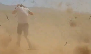
Un tourbillon monstre s'en prend à eux
0:40
La foudre frappe un avion à Vancouver
0:30
La foudre frappe super près de lui
0:45
Elle conduit dans l'eau, voici le résultat
0:30
Pourquoi la lune s'est-elle peinte en orange?
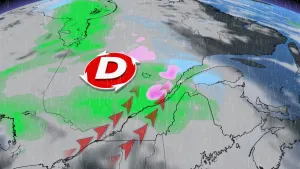
Cocktail météo et rafales à 80 km/h : le système entrera lundi au Québec
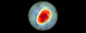
Depuis 2000 : le trou se referme et c'est une excellente nouvelle
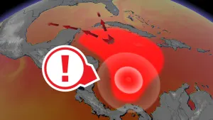
La mer des Caraïbes sous haute surveillance
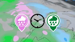
Pluie, neige, possible verglas : voici les moments critiques du prochain système
Publicité
Publicité
Publicité
Aide
Centre d’assistance
Politique de vie privée
Conditions d’utilisation
Code d'éthique de l'IA
Accessibilité et accommodation
Gérer mon consentement
Carrières
Annoncez avec nous
À propos de nous
Outils météo
API météo
Application Android
Application iOS
Applis télé météo
The Weather Network
Pelmorex Corp
ElTiempo
Otempo
Clima
En Alerte
Suivez-nous
©2024 Pelmorex Corp